
As part of the UNDERCOVER project, a 3D seismic survey was conducted in the Lagoa Salgada area, within the Iberian Pyrite Belt. This region is known for hosting mineral-rich bodies in a complex geological setting, where ore deposits occur as concentrated pockets of minerals within very old rocks, hidden beneath a layer of younger sediments.
Imaging these concealed structures requires geophysical methods capable of seeing through this cover and resolving geological details at depth. This is where 3D active seismic comes into play, offering high‑resolution subsurface imaging while being deployable with minimal environmental impact.
What is Active Seismic ? An “Echography” of the Ground
Active seismic surveying can be compared to a medical ultrasound, but applied to the Earth.
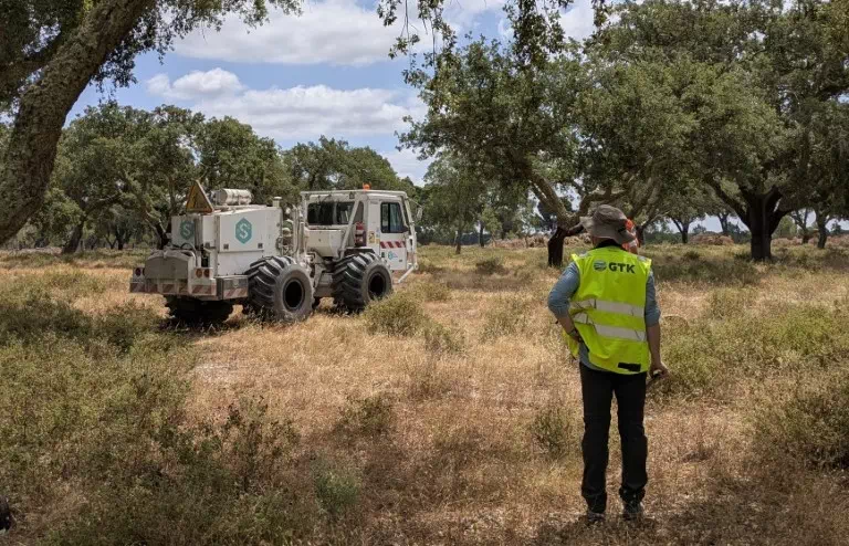
We call it “active” because the survey actively generates the seismic waves, rather than just listening to natural vibrations in the ground. (Read about passive seismic imaging here). Geophysicists create controlled seismic waves at specific locations (called vibration points) at the surface using a vibrator truck. These waves propagate through the subsurface and interact with geological layers. When they encounter contrasts in physical properties between different rock types, part of the energy is reflected (or refracted) back toward the surface. Sensors (receivers) placed on the ground record these tiny soil movements. From these recordings, specialists reconstruct a detailed representation of subsurface structures.
Key Numbers from the Lagoa Salgada Survey:
- Survey area: 2.5 km × 3 km
- Receivers deployed: 4,334
- Vibration points: 2,735
- Duration: 3 weeks (mid-June to early July)
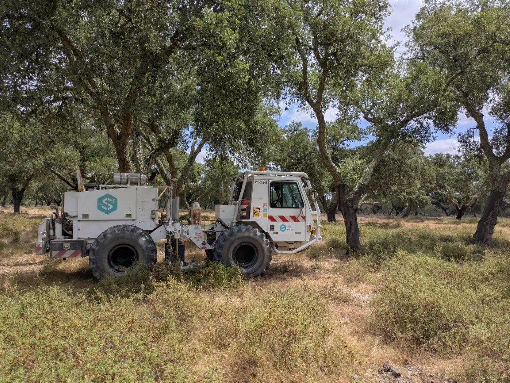
*Photo of a vibrator truck
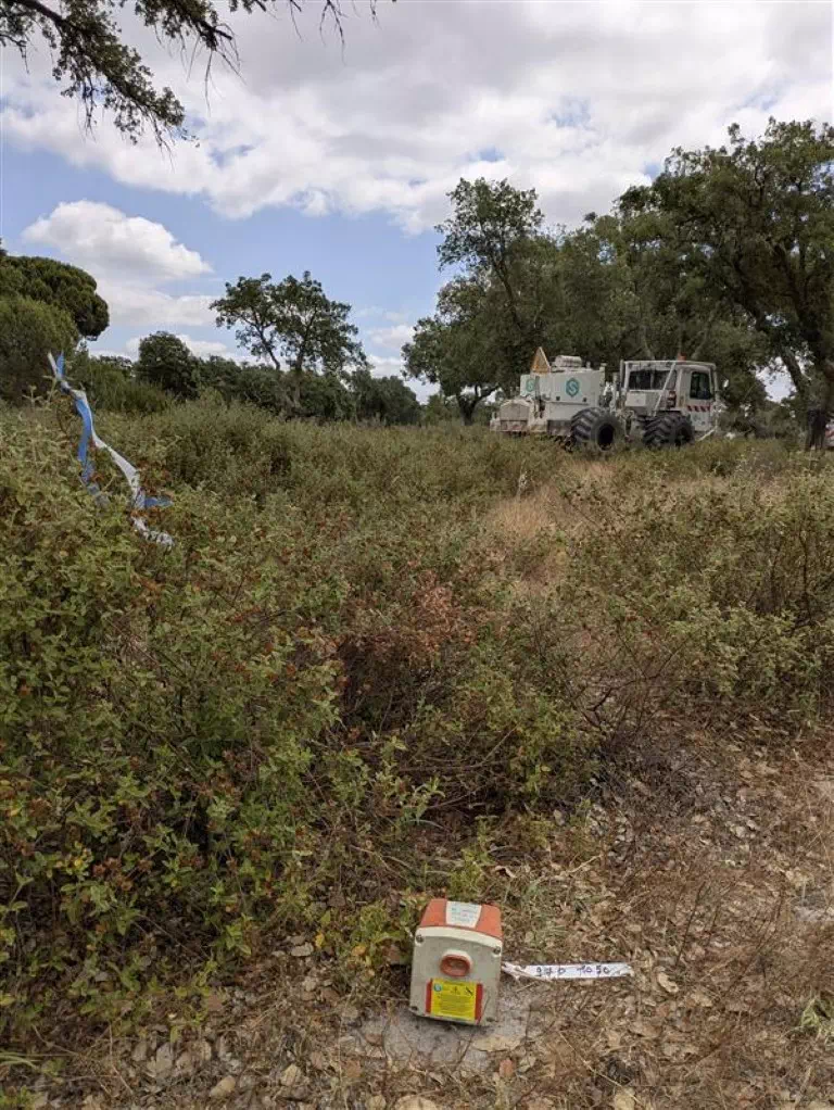 *Photo of a sensor receiver.
Why 3D Seismic? Advantages of the method
No single geophysical method can fully describe the subsurface alone with precision. 3D seismic adds unique value to mineral exploration by complementing other methods and providing detailed, spatially complete images of the subsurface.
- Complementarity with other geophysical methods
Each geophysical method measures a different physical property of the subsurface. By combining them, geoscientists gain a more complete understanding of subsurface geology.
- Gravity responds to density contrasts.
- Electromagnetics (EM) responds to electrical conductivity. (see article here)
- Seismic responds to acoustic velocity contrasts.
- High Resolution : Seismic methods can resolve features down to scales of tens of metres and often finer than other geophysical techniques used in mining contexts.
- True 3D Mapping : Unlike 2D seismic, which provides a vertical slice through the Earth, a 3D survey maps geological features in all directions within a defined volume. This allows a much more detailed geological interpretation and helps refine structural models.
From Field to Model: Data Processing and Interpretation
At the end of the survey, data were retrieved from all receivers and transferred to the Geological Survey of Finland (GTK) for processing. This step turns raw recordings into a clear 3D model of the subsurface, improving signal quality and correcting for survey layout. The process involves multiple steps to enhance signal quality, correct for acquisition geometry, and build a reliable subsurface image.
Interpretation will then be carried out by geologists from REDCORP exploration company, Portuguese Geological Survey (LNEG) and GTK. By integrating the seismic results with other geological and geophysical datasets, the teams will refine the geological model of the area.
Conclusion :
By introducing 3D active seismic to the hard-rock, structurally complex environment of Lagoa Salgada, the UNDERCOVER project adds new insights to existing models and improves geological understanding.
While active seismic methods have long been used in oil and gas exploration, their application in mining has been limited due to smaller deposit sizes and complex geology. This innovative approach demonstrates how adapting acquisition and processing methods for mining contexts can unlock detailed, high-resolution views of concealed mineral deposits, complementing traditional geophysical techniques and advancing exploration science.