

How UNDERCOVER is redefining deep-earth exploration
Critical raw materials (CRM) are essential for batteries, wind turbines, electric vehicles and many other technologies supporting Europe’s green and digital transition. Yet, many of the most accessible deposits have already been discovered, while significant resources remain hidden hundreds of metres beneath the Earth’s surface.
Exploring at these depths is challenging. Conventional exploration methods often struggle to detect mineral deposits buried beneath thick layers of rock or sediment, making exploration more expensive, uncertain and technically challenging.
UNDERCOVER is a research project investigating new ways to explore deeper beneath the Earth’s surface.
The project is developing and testing an integrated exploration strategy that combines innovative geophysical surveys, geological knowledge, advanced modelling and artificial intelligence to explore at depths of 500–1000 metres . By improving existing technologies and combining them in new ways, UNDERCOVER aims to make deep exploration more accurate, more cost-effective and more sustainable, helping reduce unnecessary drilling and minimise environmental impacts while increasing confidence in exploration decisions.
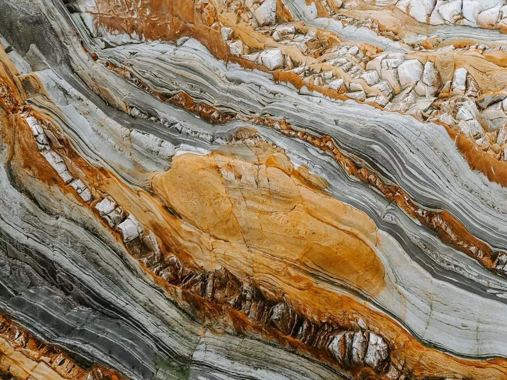
Understanding how mineral deposits form
Instead of searching directly for mineral deposits, UNDERCOVER begins by understanding the geological processes that created them. This is due to the fact that these processes leave significantly broader footprints than the direct signals of the deposits and thus are more easily detectable.
The Mineral Systems Concept examines the complete geological system: where mineral-rich fluids originated, how they moved through the Earth’s crust, the geological structures that acted as pathways for them, and the conditions that caused valuable minerals to accumulate.
While this concept is already recognised in geological research, it has rarely been translated into a practical exploration strategy for deeply buried CRMs.
UNDERCOVER extends the Mineral Systems Concept into a quantitative exploration framework by combining geological observations with geophysical data, advanced 3D modelling and information on the geological history of an area.
Understanding geological history is an important part of this approach. By combining advanced geochronology with geological and geophysical observations, researchers can reconstruct how mineral systems evolved over vast spans of geological time. Adding this time dimension to traditional 3D models improves predictions of where undiscovered CRM deposits may still be preserved beneath the surface.
This integrated understanding allows researchers to identify the areas most likely to host hidden deposits, reducing uncertainty and helping target exploration where it has the greatest potential.
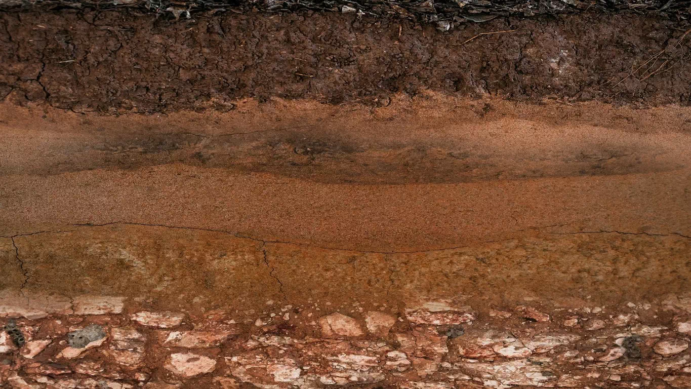
Seeing deeper beneath the surface
Because rocks hidden hundreds of metres underground cannot be observed directly, geophysical methods allow scientists to investigate the Earth’s subsurface by measuring its physical properties.
Different techniques reveal different characteristics. Seismic methods image geological structures, while electromagnetic methods measure the electrical properties of rocks. Magnetotellurics uses naturally occurring electromagnetic fields to investigate geological structures at great depths.
Each method has strengths but also limitations when used on its own. UNDERCOVER advances these technologies by improving their resolution, extending the depth they can investigate and integrating complementary datasets collected at regional, district and deposit scales. By bringing together information from multiple geophysical methods, the project creates a much more reliable picture of the subsurface than any single technique could provide.
This allows exploration teams to target investigations more precisely, reducing unnecessary drilling, lowering exploration costs and minimising environmental impacts.
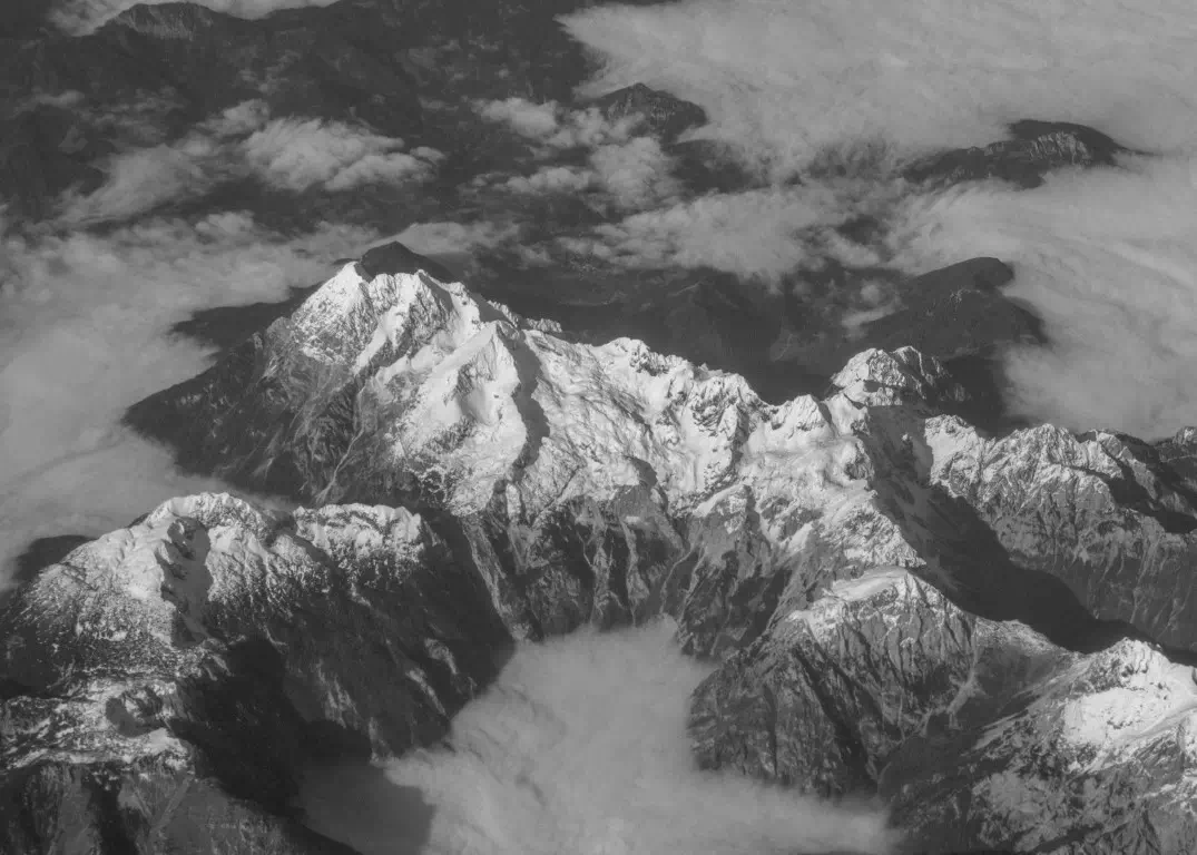
Exploring from the air
Airborne surveys allow large areas to be investigated quickly, including remote or environmentally sensitive regions where ground access may be difficult. However, conventional airborne systems are often limited in the depth they can explore.
UNDERCOVER employes cutting-edge airborne electromagnetic technologies capable of imaging much deeper than available commercial systems. The project also deploys innovative drone-based EM solutions, including novel sensor technologies, to support cost-effective exploration over large areas and in challenging environments. Combined with co-located ground-based measurements, these approaches help identify promising drilling targets whith reduced risk of failure, thus reducing cost and environmental impact.

Bringing all the data together
UNDERCOVER develops advanced computational methods that analyse multiple datasets simultaneously through a process known as joint inversion. By combining seismic, electromagnetic, magnetic and gravity data into integrated 3D models, and by linking observations made at different scales, the project reduces uncertainty and provides a more complete understanding of underground geological structures than would be possible using individual datasets alone.
This allows exploration programmes to focus resources on the most promising targets, improving efficiency while avoiding unnecessary investigations.
Turning data into discoveries
Deep exploration produces vast amounts of geological, geophysical and geochemical information that would be extremely difficult to interpret using conventional approaches alone.
UNDERCOVER applies artificial intelligence (AI) to support geological mapping, identify relationships between different datasets, improve geological interpretation and strengthen mineral prospectivity modelling. Working alongside geological expertise, AI helps transform complex data into more reliable predictions, allowing exploration efforts to focus on the areas with the greatest potential.
Finding the most promising exploration targets
The final stage of the exploration process brings together all the evidence collected throughout the project.
UNDERCOVER combines geological knowledge, geophysical observations, advanced modelling and AI-assisted analysis to produce mineral prospectivity models that identify the areas most likely to contain CRMs. Through its research and testing, the project aims to demonstrate how these different technologies and types of geological information can work together to improve deep-earth exploration. The knowledge, methods and models developed through the project provide practical guidance for future exploration, helping reduce uncertainty while making exploration more targeted, cost-efficient and environmentally responsible.